Andrew Macias
G.I.S. Modeler & Analyst


I’m interested in the space where geospatial data, technology, and the built environment come together. My work focuses on using data to understand systems whether that’s mapping natural hazards, analyzing infrastructure, or building interactive tools that make complex information more accessible. I’ve worked with national-scale datasets, including FEMA’s National Risk Index and flood hazard mapping programs, contributing to data validation, analysis, and map production. This portfolio highlights projects ranging from spatial analysis to web mapping applications, reflecting both technical and analytical approaches to problem-solving. Using tools like ArcGIS, SQL, Python, and modern web mapping frameworks, I aim to build data-driven solutions that support planning, resilience, and informed decision-making.

National Risk Index v1.20
Contributed to the development and release of NRI v1.20. A national-level FEMA geospatial product that assesses risk for 14 natural hazards across the continental U.S., Alaska, Hawaii, and U.S. territories.
County Tax Auction Dashboards
This is a personal project of mine for displaying California tax auctions by each county geographically. The current dashboard displays the 2026 Riverside County tax auction completed in late April, I have configured it to automatically update approximately every 15 minutes when the auctions are live.
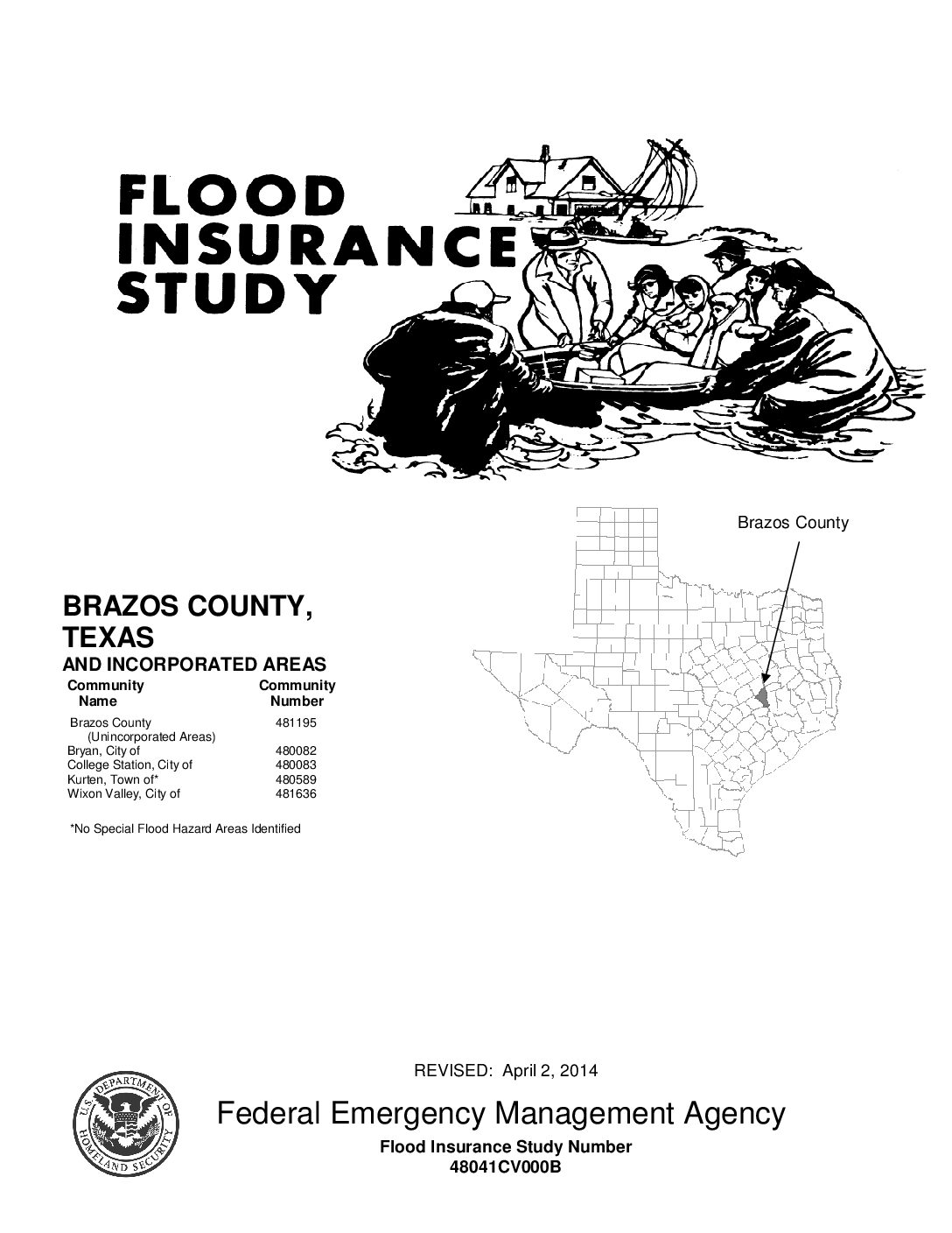
Coordinated Needs Management Strategy
As part of a congressionally mandated FEMA initiative, CNMS requires flood hazard studies to be reviewed and validated to ensure up-to-date flood risk information. I am a member of the GIS team responsible for validating existing flood studies, maintaining legacy flood data, and integrating the latest data into FEMA’s regional geospatial databases.

Bureau of Indian Affairs Pilot ArcGIS Dashboard
This pilot project explores data from the Bureau of Indian Affairs open data portal. Examining the regional distribution and funding patterns of the 2021 Bipartisan Infrastructure Law throughout Native American communities.
Federal Flood Risk Management Standard
I supported FEMA’s Federal Flood Risk Management Standard by producing 2D flood extent raster datasets from legacy hydraulic models within the National Flood Hazard Layer. This work involved predictive flood mapping across Texas counties and included developing quality control checks to ensure accuracy and compliance with federal risk management standards.
National Hydrography Dataset
I maintained and updated NHD data across California by identifying and resolving duplicate rivers, streams, and waterbodies that crossed multiple watershed boundaries, ensuring data accuracy and consistency for statewide hydrographic analysis.
School Projects
Vail Housing Analysis
This analysis examines the challenge of expanding affordable housing in Vail, Colorado, while protecting critical Bighorn Sheep habitat, highlighting trade-offs between development and environmental conservation.
Mobility Improvement Pilot Project
Our class worked with the City of Paradise to evaluate and improve walking and biking routes to school by conducting user surveys and field assessments, helping identify infrastructure improvements to support safer and more accessible active transportation.
Water Security Analysis
For Advanced Cartography, I analyzed water availability and drought impacts on agriculture in Northern California, with a focus on assessing future water security in Butte County.


Experience
G.I.S. Analyst & Consultant (Remote)
ABS Group Consulting Inc.
2023 – March 2026
As a GIS Analyst and Consultant with ABS Group, I contributed to multiple FEMA geospatial projects, including the National Risk Index (NRI), Coordinated Needs Management Strategy (CNMS), and Federal Flood Risk Management Standard (FFRMS) initiatives. I supported the development and release of NRI v1.20, a national-level product assessing risk for fourteen natural hazards across the U.S. and its territories, by performing data validation and quality control using Tableau, ArcGIS Pro, and SQL Server. My responsibilities included creating and updating geospatial datasets, revising county and tract boundaries to reflect census updates, and producing final hazard map series for public release materials. I also managed public inquiries related to the NRI, coordinating responses with subject matter experts to ensure accurate communication.
In my work with FEMA’s CNMS program, I validated and updated existing flood hazard geodatabases across several regions by analyzing hydrological and imagery data to maintain compliance with FEMA standards. Additionally, I contributed to the FFRMS project by producing predicted flood hazard maps for various probabilities across Texas using ArcGIS Pro and custom hydrological modeling tools. I also supported the quality control process to ensure the production of accurate, high-quality flood hazard products. Alongside these responsibilities, I executed Hazus loss estimation models for hurricane and earthquake scenarios nationwide, enhancing FEMA’s Hazus Loss Library through ongoing feedback and performance improvements.
G.I.S. Assistant II (Remote)
North State Planning & Development Collective
2022 – 2023
As a GIS Assistant II, I maintained and enhanced spatial data for the National Hydrography Dataset (NHD) in compliance with U.S. Geological Survey standards. I utilized ArcMap and high-resolution imagery to integrate, manipulate, and quality-check geospatial data related to hydrography and watershed boundaries. My work included performing data validation and quality assurance to ensure accuracy, consistency, and completeness of national hydrographic datasets. I also assisted in the development and maintenance of metadata for proper dataset documentation and provided technical guidance to team members on database management and GIS workflows.
Student Assistant & Tutor
California State University, Chico
2022 – 2023
- Provided one-on-one and small group tutoring sessions to students in Physical Geography.
- Assisted students with homework, assignments, and studying for exams.
- Provided tips and strategies for effective studying and test-taking.
- Helped students understand and overcome specific learning challenges.
Geography Club President
California State University, Chico
2022 – 2023
- Planned and organized meetings and events for the club, including social activities, networking events, and practice interviews.
- Collaborated with the city of Chico, other organizations, and departments on campus to promote the study of geography and encourage interdisciplinary connections.
- Managed money with my club treasurer and fund-raised for club events and materials.
- Kept records of club activities and events, and maintained the club’s website and social media presence. Ensuring the next club president could easily transition into the role.
Lifeguard & Instructor
Boy Scouts of America
2017 – 2019
- Planned and conducted swimming and watercraft lessons for groups of various skill levels.
- As a team of lifeguards, emphasized and enforced water safety rules and proper swimming techniques.
- Responded promptly to emergency situations, including rescues and first aid.
- Maintained a positive and approachable demeanor, contributing to a pleasant and safe aquatic environment.